We roll out from the mouth of the canyon and climb steadily along the Big Thompson River, through the rock walls of the Narrows where the resident bighorn sheep usually put in an appearance, past Drake, and up the final grades to Lake Estes. A long stop in Estes Park, then the part everyone remembers: nineteen miles of gentle descent with the river on your shoulder the whole way down.
The canyon floor sits at about 5,300 feet where the ride starts and Lake Estes at about 7,500, so the climb is real. On a touring e-bike it turns into a long, scenic effort at conversation pace, and the figures further down show exactly where the road steepens.
What to expect
This is a road ride with real traffic and real weather, led by a guide who reads both for a living. The touring e-bike flattens the climb to something any regular walker can enjoy; you should be comfortable riding a bike and holding a line. We run small groups, brief the route before rolling, and carry tools, spares, and snacks.
The tour ends at Lake Estes, outside the Rocky Mountain National Park boundary. If you want to carry on into the park afterward, we will point you at the entrance and the rules, honestly. The rules for e-bikes on the highway and inside the park are cited and dated on the Big Thompson Canyon trail page.
The day, stop by stop
- Loveland: fitting and briefingStart
Bikes fitted, assist modes explained, the road rules for the canyon walked through. We shuttle riders and bikes to the canyon mouth so the ride begins where the climb does.
- The canyon mouthMile 0, about 5,300 ft
US-34 leaves the plains and enters the rock. Wide lanes and shoulders here: the whole road was rebuilt after the 2013 flood.
- The NarrowsThe steep-walled section
Canyon walls close in and the bighorn sheep live on them. We ride single file and stop where the shoulder allows for the sheep, never in the road.
- DrakeThe halfway regroup
A short break where the North Fork joins the river. Batteries and legs checked, then the upper canyon and its longer grades.
- Lake Estes and Estes ParkMile 18.7, about 7,500 ft
The road opens onto the lake with the Continental Divide behind it. Lunch and a wander in Estes Park; this is the turnaround, outside the national park boundary.
- The descentBack the way we came
Nineteen miles of mostly downhill with the river alongside. Brakes get a briefing of their own before we drop in.
Elevations come from the trail data below; the stop descriptions are the guide's, not survey.
In pictures
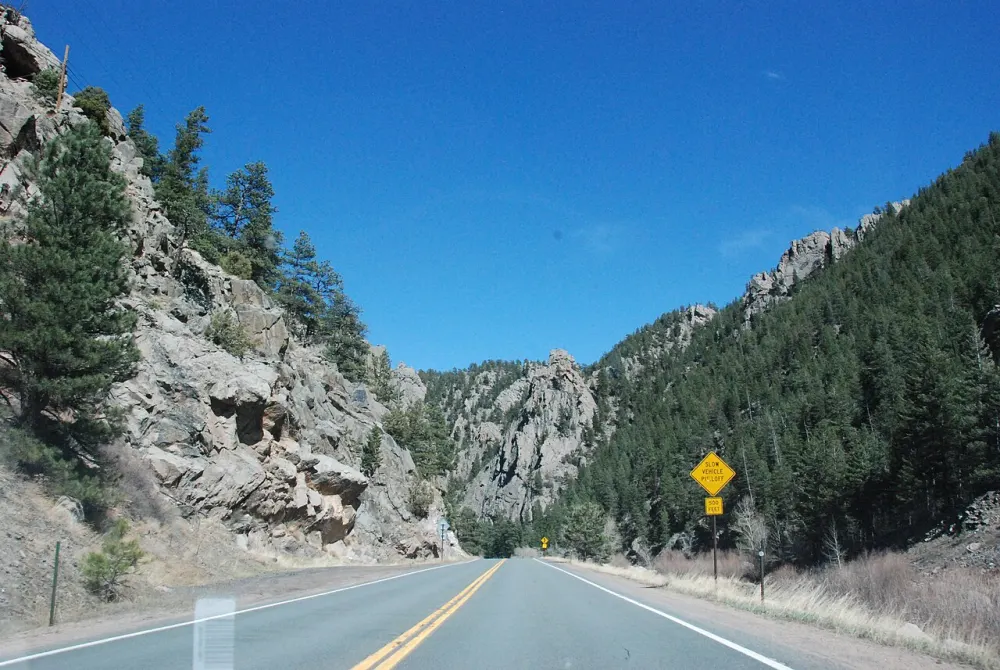
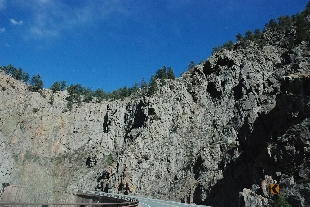
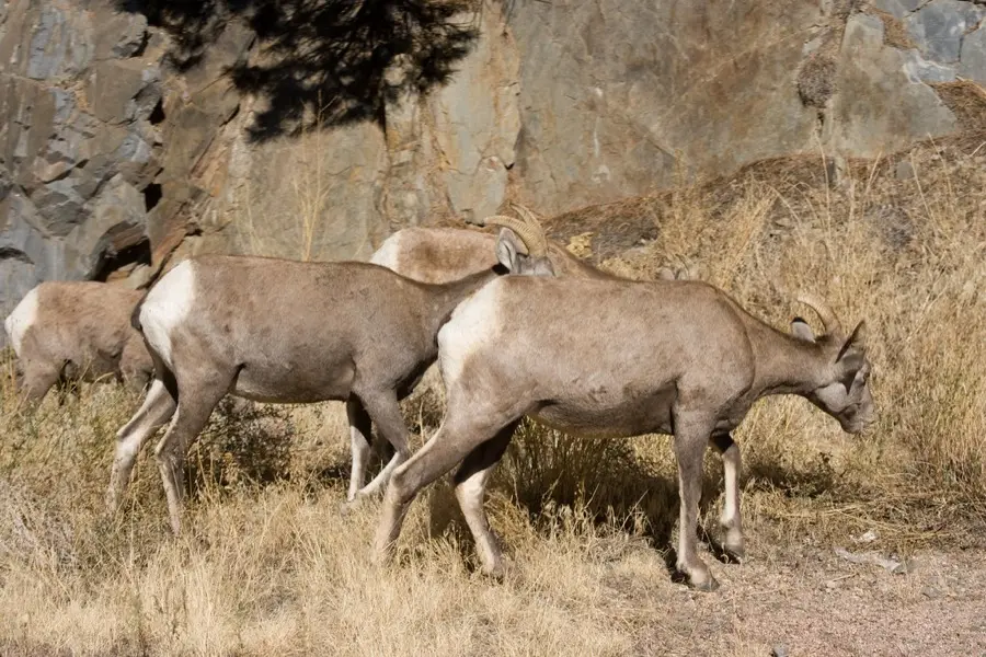
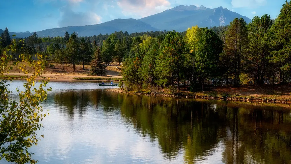
Stock photography until we have our own; every photo is credited on the credits page.
The climb and the road
Trail data: CDOT Routes (Colorado Department of Transportation) (retrieved 2026-08-31); elevation from USGS 3DEP (Elevation Point Query Service). Full guide: Big Thompson Canyon.
Season and weather
The canyon rides best late spring through fall. Weather in the Front Range has opinions; if we call a ride off, you rebook or get your money back, whole. Check COtrip.org on the morning for closures if you are driving up to meet us.