The Recreation Trail is Loveland's quiet masterpiece: a paved loop that follows the Big Thompson River corridor, skirts the west shore of Boyd Lake, ducks under the streets, and comes back around through parks and quiet neighborhoods. On a cruiser with a motor, the whole thing is a morning well spent.
The loop never leaves the city and never climbs more than a few dozen feet at a time; the elevation stays between roughly 4,900 and 5,160 feet the whole way round. That is what makes it the ride we point first-timers at. If you have never ridden an e-bike before, this is the one that converts people.
What to expect
Paved path nearly the entire way, shared with walkers, dogs, and other riders, so the guide sets an easy pace and calls the passes. We stop at Boyd Lake, point out the connections north toward Fort Collins and the Front Range Trail for your next visit, and get you back with energy left over for Fourth Street. The state trail data leaves a short gap where the loop closes on neighborhood streets; plan on a couple of low-traffic blocks there. E-bike rules for the city's trails are cited on the Loveland Recreation Trail page.
The ride, stop by stop
- Loveland: fitting and briefingStart
Bikes fitted, assist modes explained, a two-minute practice loop in the lot. The trail starts a few blocks from the shop.
- The river corridorThe south side of the loop
The Big Thompson River keeps you company through cottonwoods and past the ponds; underpasses take you beneath the busy streets without a single crossing.
- Boyd LakeThe east side, and the stop
The trail rides the west shore with the lake on one side and the Front Range on the other. Snacks, water, and the long view; on a calm morning the mountains sit in the lake.
- Parks and neighborhoodsThe north and west legs
The loop bends back through parks and quiet streets. This is where we point out the connections toward Fort Collins for your next visit.
- DowntownMile 21
Back where we started with the afternoon still ahead of you. Fourth Street's coffee and lunch are a short walk from the shop.
Distance and elevation come from the trail data below; the stop descriptions are the guide's, not survey.
In pictures
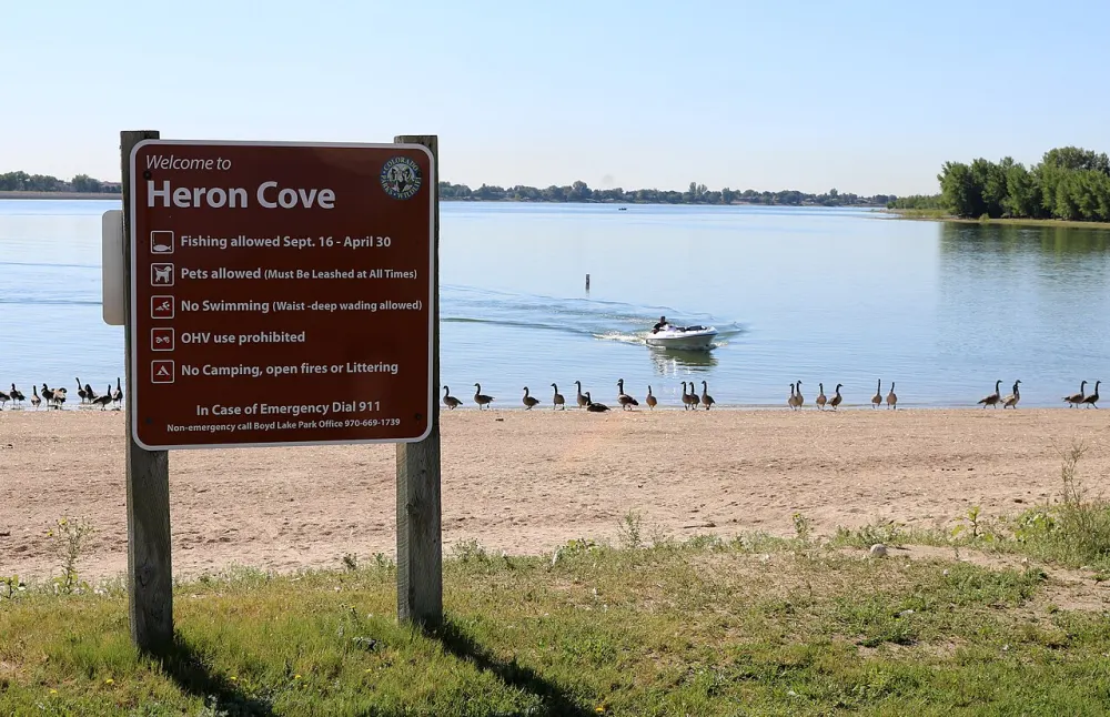
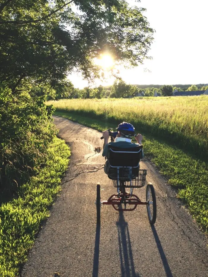
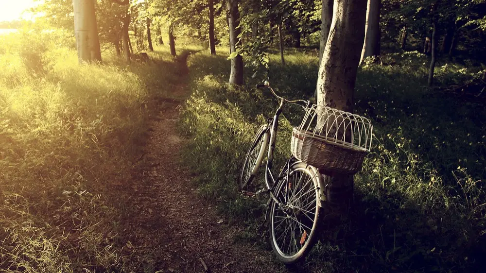
Stock photography until we have our own; every photo is credited on the credits page.
The loop on the map
Trail data: COTREX (Colorado Parks & Wildlife) (retrieved 2026-08-31); elevation from USGS 3DEP (Elevation Point Query Service). Full guide: Loveland Recreation Trail.