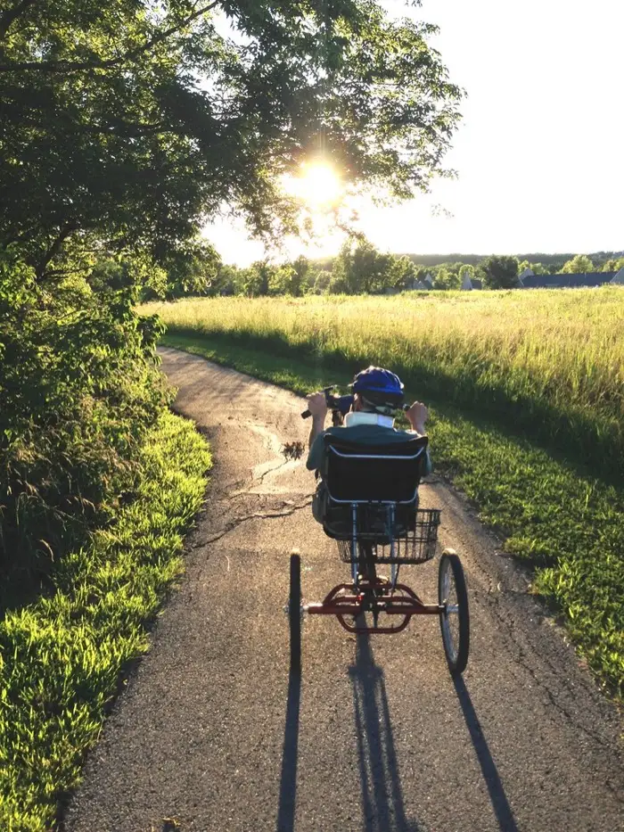
The southern leg of the Recreation Trail rides the Big Thompson River corridor across the bottom of the city, about six miles from the trail's western reaches to the neighborhoods below Boyd Lake. It is the shadiest part of the loop and the part that feels furthest from traffic.
This is the same river that carved the canyon up to Estes Park; down here it is a calm greenway neighbor. Summer afternoons are busy with walkers near the parks, so ride the way you would want someone to ride past your kids.
Pair it with the Boyd Lake section for a flat out-and-back, or use it as the warm-up before the canyon tour.
Can you ride an e-bike here?
This is a City of Loveland trail end to end.
City of Loveland Parks & Recreation
The Recreation Trail loop and the city's paved trail system.
| Where | Class 1 | Class 2 | Class 3 |
|---|---|---|---|
| Paved trails (the whole Recreation Trail system) | Allowed | Allowed | Not allowed |
| Prairie Ridge Natural Area | Prohibited | Prohibited | Prohibited |
“The paved trail system is open from 6:00A to 10:30P daily for non-motorized use only. Type I and II e-bikes are allowed on all paved trails.”
The city writes Type I and II for Class 1 and Class 2. A few natural areas (Morey Wildlife Reserve, Mariana Butte, Sunset Vista) ban bicycles of every kind. The city says nothing about Class 3, and the state default keeps Class 3 off bike and pedestrian paths, so we list it as not allowed.
Source: City of Loveland, Loveland Trails · checked 2026-08-31
Elevation
The route
Trail data: COTREX (Colorado Parks & Wildlife) (retrieved 2026-08-31). Elevation samples: USGS 3DEP (Elevation Point Query Service). Numbers are computed from that data, not measured by us.